
Lot n° 7 | Auction 471
Estimate € 400 - 600
Auction: 21 January 2020 at 15:00
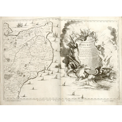
FRICKX, Eugene-Henry (1644-1730) - Cartes Des Provinces Des Pays Bas Contenant les Comte's de Flandre, de Hainaut, Cambresis, le Duche' de Brabant. Paris: Crepy, 1744. The atlas is complete of its 15 double-page maps forming a very large map of the Netherlands and an extra map with the "Plan de la Ville et Citadelle de Lille". The map shows present-day Belgium including the South Eastern point of England, Northern France, Dutch and Belgium Brabant and ending to the East at Venlo, Maastricht and Luxembourg. Folio (550 x 395mm). 15 double-page engraved numbered maps and an extra map of the "Plan de la Ville et Citadelle de Lille" also printed by Crepy in Paris (some light soiling and occasional spotting). Moderna marbled boards backed in calf.
Estimate € 400 - 600